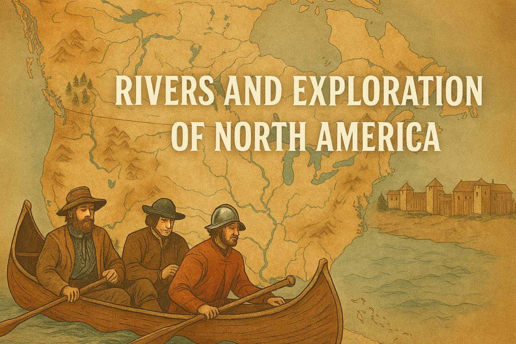
Discover how rivers shaped the exploration and colonization of North America—from French voyages on the St. Lawrence to the expansion along the Mississippi. Natural highways that built empires.
Long before railroads and highways stitched the American landscape together, rivers were the arteries of discovery. These winding, rushing waterways carved paths into vast wilderness, guided daring explorers into the unknown, and laid the foundations for towns, trade, and empires. In the story of North America‘s exploration, rivers weren’t just features of the land—they were the very reason it could be explored at all.
The Age of River-Borne Discovery
When European powers cast their eyes westward in the 15th and 16th centuries, the vastness of North America presented a daunting mystery. Thick forests, towering mountains, and expansive plains stretched beyond the horizon. But rivers? They offered a solution—a way in.
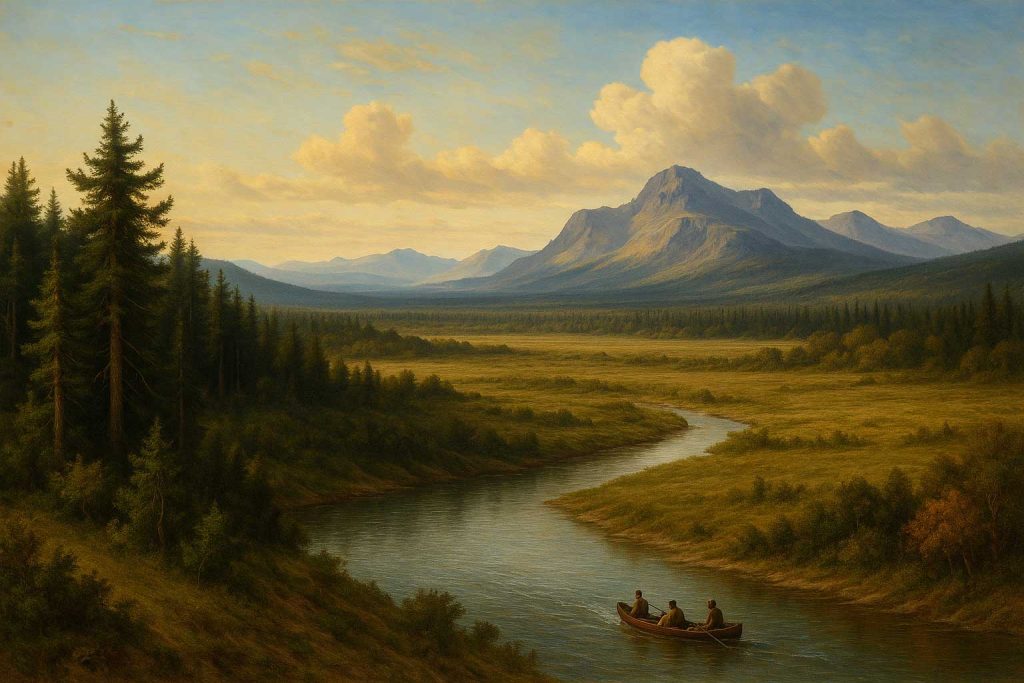
From the frigid St. Lawrence River in the northeast to the mighty Mississippi snaking through the heart of the continent, these waterways became the first and most important routes inland.
The St. Lawrence River: Gateway to the Great Lakes
It all began with the French. In 1535, explorer Jacques Cartier sailed up the St. Lawrence, a river that glimmered with promise. It offered not only access to fertile lands, but a path to the Great Lakes, a freshwater labyrinth that would shape the fur trade and open the Canadian interior.
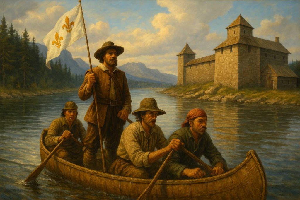
By the 1600s, Samuel de Champlain had founded Québec City on its banks, a strategic and symbolic outpost of French power. From here, French voyageurs and Indigenous allies ventured further west, using river canoes to map routes through Ontario and beyond.
The Mississippi River: Backbone of the American Interior
If the St. Lawrence was a gateway, the Mississippi was the continent’s spine.
Flowing over 2,300 miles from Minnesota to the Gulf of Mexico, it became a lifeline for explorers like Hernando de Soto, who in the 1540s led one of the first European expeditions deep into the southern United States. Later, the French followed suit—La Salle famously claimed the entire Mississippi Basin for France in 1682, naming it Louisiana.

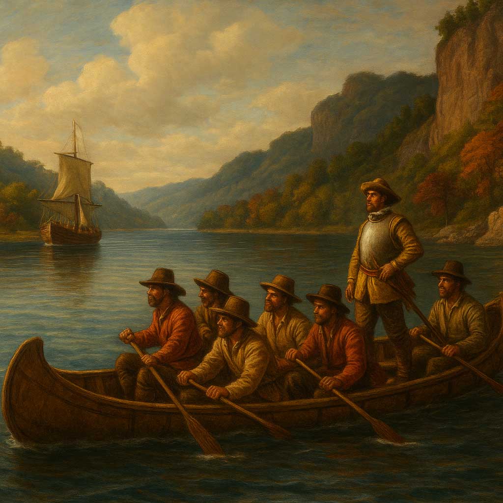
Rivers like the Ohio, Missouri, and Arkansas became tributaries not just of water, but of colonial ambition—routes used by fur traders, missionaries, and settlers pushing westward.
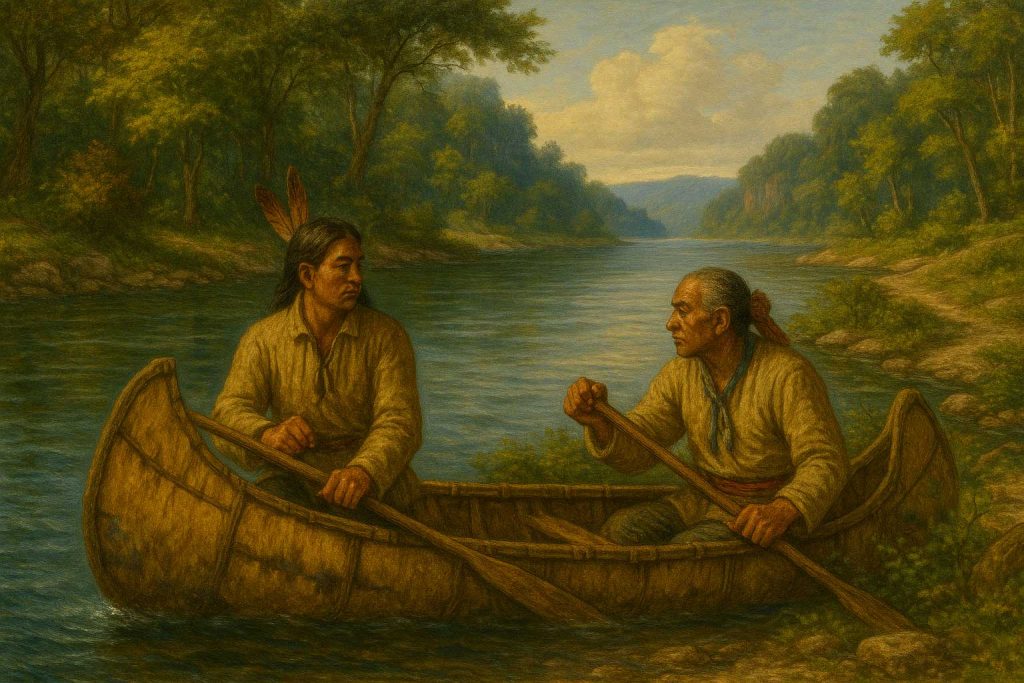
Native Pathways and River Wisdom
But these rivers were never empty. Long before European ships arrived, Indigenous nations had lived, traveled, and traded along these waterways for centuries. They knew every bend, every seasonal flood, every fertile bank.
Colonial exploration, in truth, relied deeply on Indigenous river knowledge—canoe routes, portage trails, fishing methods, and alliances. The rivers weren’t discovered by Europeans; they were shared, navigated, and often fought over.
Settlements, Forts, and River Towns
🏞️ Settlements, Forts, and River Towns
Where rivers flowed, people gathered. From the earliest days of European colonization, rivers were the lifeblood of new settlements—sources of fresh water, food, transport, and trade. They carved natural paths through rugged terrain and offered access deep into the continent. Unsurprisingly, some of the most important colonial towns and cities in North America rose at the meeting points of major rivers.
- St. Louis, perched on the Mississippi, became a vital hub for French fur traders and later expanded as a gateway to the American West.
- Montreal and Québec City, both nestled along the powerful St. Lawrence, thrived as key bastions of New France—centers of trade, military strategy, and culture.
- Pittsburgh, founded where the Allegheny and Monongahela rivers merge to form the Ohio River, became a crucial military post and later an industrial powerhouse.
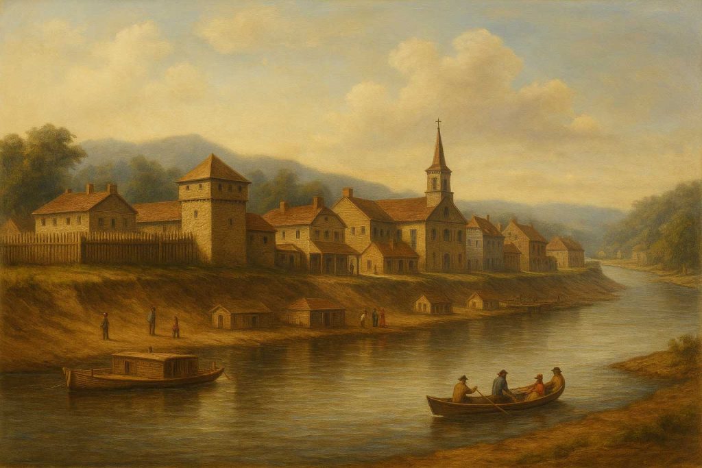
These locations were never accidental. They were chosen with care—for their navigability, for the protection offered by the landscape, and for their strategic position on river networks that linked them to Indigenous trade routes, distant colonies, and the Atlantic world.
Forts were built first, their wooden palisades and stone bastions guarding settlers, missionaries, and merchants alike. Over time, those forts attracted blacksmiths, bakers, farmers, and families. From fortified outposts grew vibrant towns, then bustling cities—each shaped by the river at its feet.
The River Legacy Today
Today, you can trace this watery heritage in the map of North America. Our cities hug riverbanks. Our culture remembers names like Mississippi, Missouri, and Hudson with pride and poetry. Paddle a canoe in the Boundary Waters of Minnesota or walk along the levees of New Orleans, and you’re following in the wake of centuries of movement—of exploration, exploitation, survival, and discovery.
Rivers didn’t just help explore North America—they shaped what it would become.
📍 Plan Your Own River Adventure
Inspired by history? You can still follow these ancient routes today:
- Paddle the St. Lawrence in Quebec or Ontario
- Cruise the Mississippi on a historic riverboat
- Bike along the riverside trails that follow explorer routes
Let the rivers guide you—just as they guided the past.