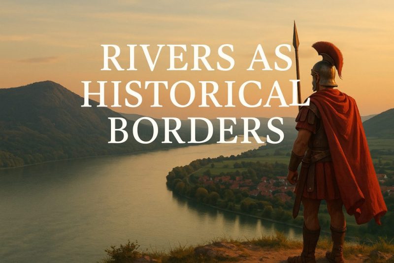
Rivers as Historical Borders: How’s Great Rivers Shaped Civilizations
Discover how rivers like the Danube, Rhine, Rio Grande or Jordan served as historical borders—dividing empires, shaping nations, and connecting cultures across the world.
Rivers as historical borders have shaped the very fabric of the world for millennia. Long before the age of walls and wires, rivers marked the edges of empires, the frontiers of kingdoms, and the invisible lines between cultures. From the sweeping blue ribbon of the Danube to the strategic Rio Grande or Jordan, these waterways were more than just natural obstacles—they were living boundaries. Yet, for all their role in division, rivers have also served as powerful connectors, weaving together trade routes, shared traditions, and common destinies. In their currents, we find stories of conflict and cooperation, separation and unity—a mirror of world’s ever-shifting map.
The Danube: Europe’s Liquid Spine
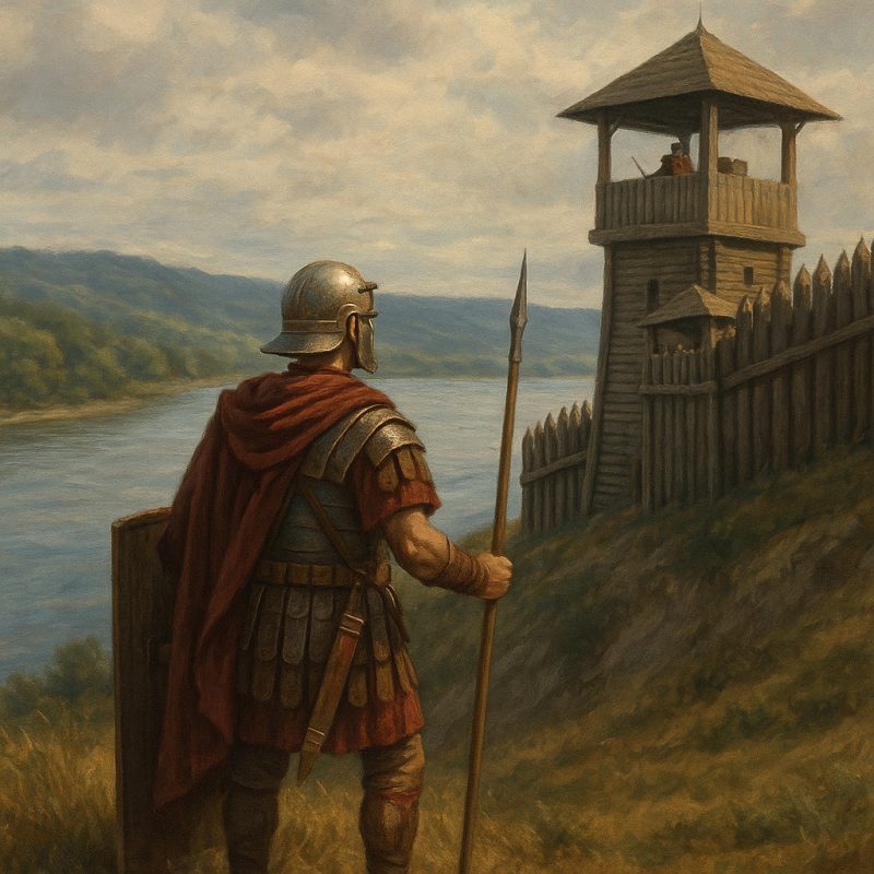
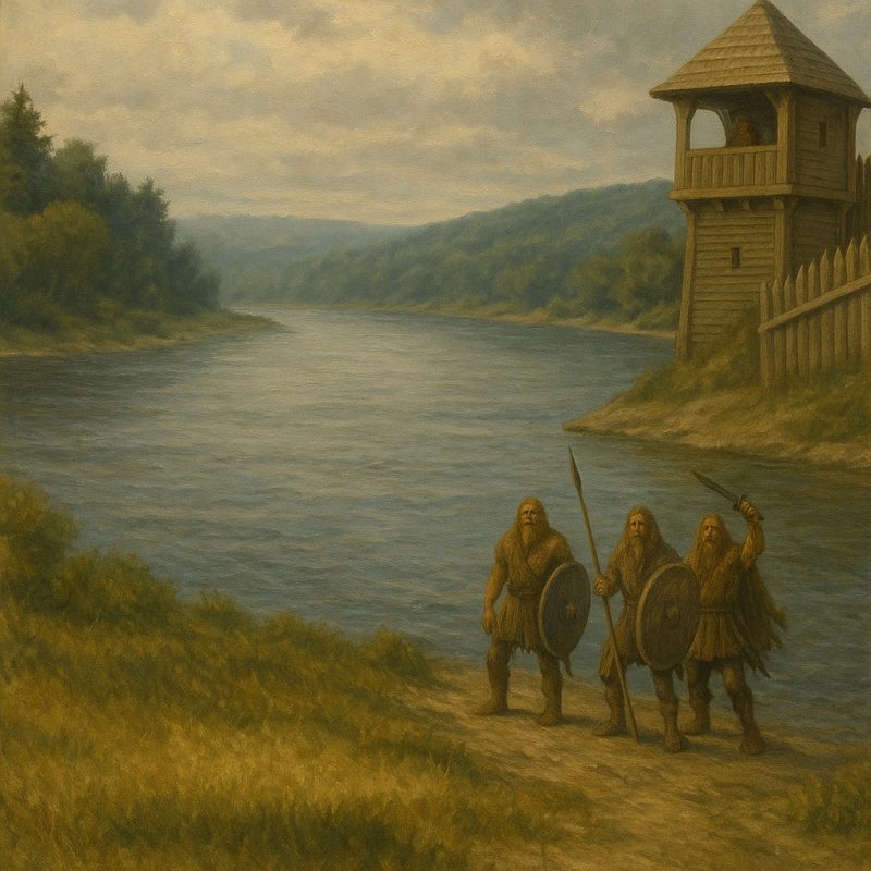
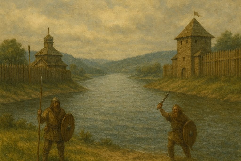
The Danube stretches across ten countries in Europe, more than any other river in the world. For centuries, it marked the frontier of the Roman Empire, keeping the legions on one side and the ‘barbarian’ tribes on the other. Later, it served as a cultural and political divide between the Ottoman and Habsburg empires. But despite this dividing role, the Danube also functioned as a vibrant artery of commerce, music, and migration—linking Vienna with Budapest, Belgrade with the Black Sea.
The Rhine: Fortress and Freeway
Once the Roman Empire’s fortified northern edge, the Rhine has been central to conflicts and cooperation alike. Napoleon’s campaigns, the rise and fall of the German Empire, and World War II all saw the Rhine as a strategic boundary. Yet today, it is a symbol of European unity—part of the EU’s transcontinental transport network and a shared heritage site. Vineyards, cathedrals, and castles now echo its dual legacy as both battlefield and bridge.
The Dniester: Between Empires
Winding quietly through Ukraine and Moldova, the Dniester is less known but just as layered. It has often marked fluctuating borders between Poland, Russia, the Ottoman Empire, and later, the USSR. Its banks have seen shifting allegiances, populations in flux, and a mingling of Slavic, Jewish, and Turkic influences. Even today, the river skirts the contested territory of Transnistria, where geopolitics still ripple through its waters.
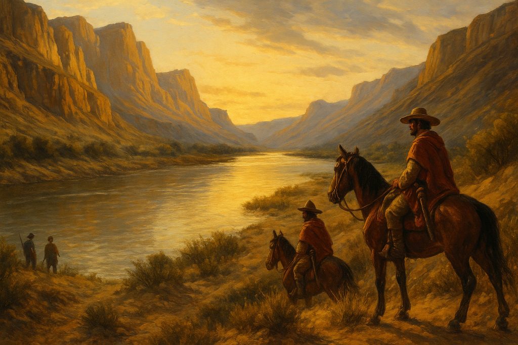
The Rio Grande – USA & Mexico
One of the most politically charged river borders in the modern world, the Rio Grande (or Río Bravo del Norte) has marked the boundary between the United States and Mexico since the Treaty of Guadalupe Hidalgo in 1848 (North America). It has become a symbol of migration, conflict, and cross-cultural exchange, reflecting the tension and interdependence of the two nations.
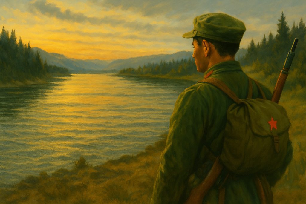
The Amur River – China & Russia
The Amur River (Heilong Jiang) defines the boundary between the Russian Far East and northeastern China (Rivers of Asia). For centuries, it has been a contested frontier, especially during the 19th century when Russia expanded eastward. Tensions flared again during the Cold War, with Sino-Soviet border clashes erupting along its banks in 1969.
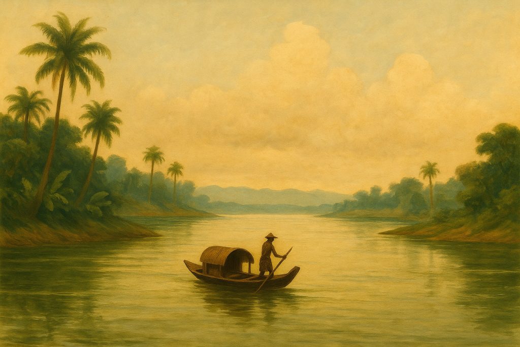
The Mekong River – Southeast Asia
Flowing from Tibet through China, Myanmar, Laos, Thailand, Cambodia, and Vietnam, the Mekong has long been a fluid frontier. In ancient times, it marked boundaries between competing Southeast Asian kingdoms. In more recent decades, it’s been a site of tension between upstream and downstream nations over dams, water access, and sovereignty.
The Yalu River – North Korea & China
The Yalu River serves as a natural barrier between North Korea and China. During the Korean War, it became a flashpoint—crossed by both U.S./UN troops and later Chinese forces, dramatically shifting the course of the war. Even today, it remains a tightly monitored border that separates a closed regime from its major patron.
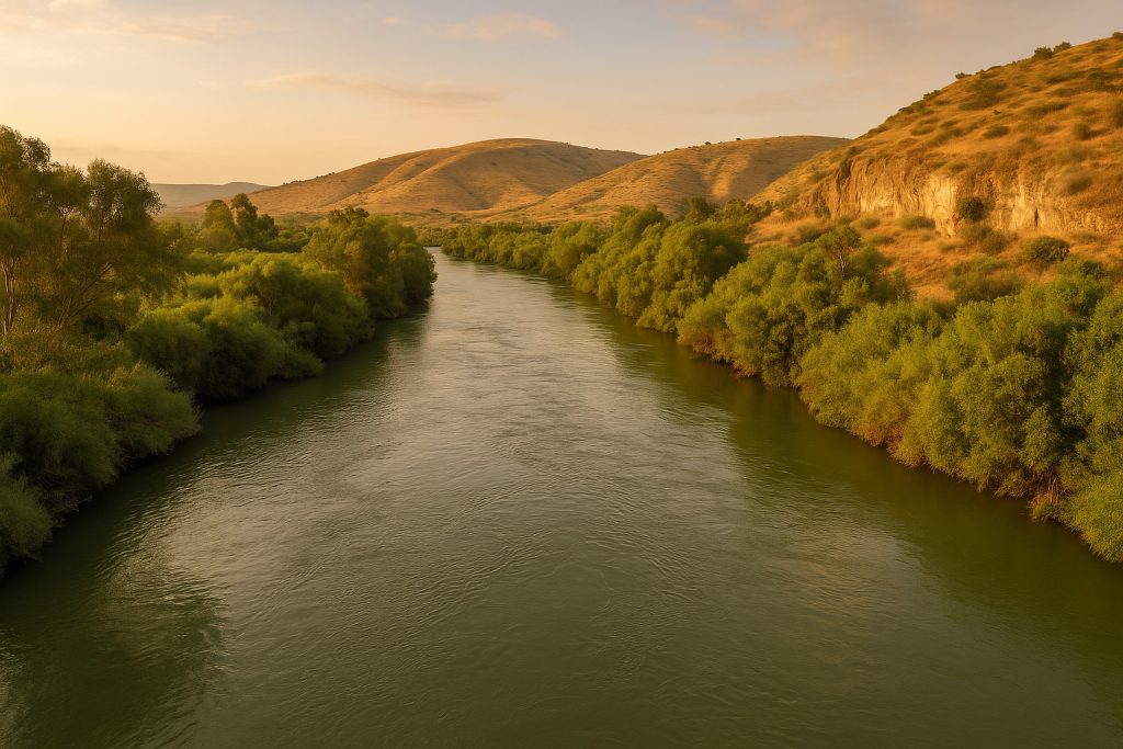
The Jordan River – Israel, Jordan & the Palestinian Territories
Rich in biblical history, the Jordan River is a narrow but deeply symbolic boundary. It has defined parts of the Israel–Jordan border and is tightly bound to territorial disputes and water-sharing agreements involving Israel, Jordan, and Palestine. The river’s shrinking flow has also become emblematic of the environmental toll of conflict.
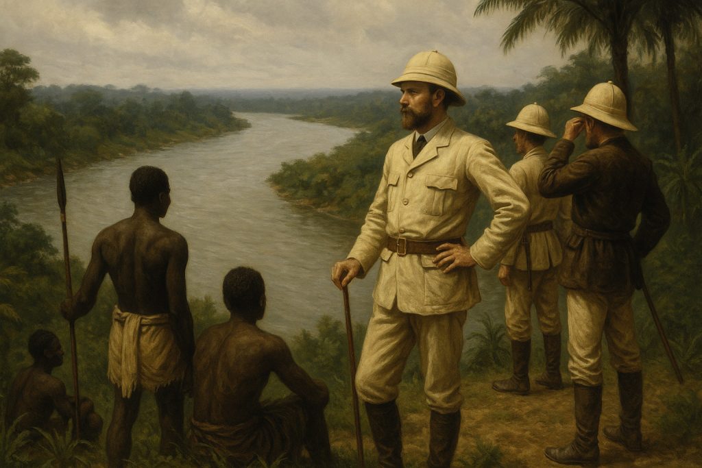
The Congo River – Colonial Divide in Africa
The Congo River was a crucial natural division during the European “Scramble for Africa.” It formed part of the boundary between French and Belgian colonial territories, especially around the area now split between the Republic of the Congo (Brazzaville) and the Democratic Republic of the Congo (Kinshasa). Its basin was also central to King Leopold II’s brutal Congo Free State regime.
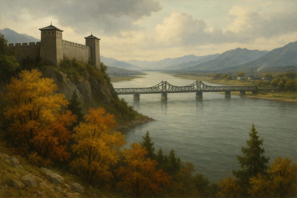
The Drava: A Cold War Fault Line in the Balkans
Flowing quietly through Central and Southeastern Europe, the Drava River might not boast the fame of the Danube or Rhine, but it once held immense geopolitical weight. In the decades following World War II, this river marked more than just a natural divide—it became a symbolic frontier between two contrasting visions of communism. To the north lay Hungary, firmly within the Warsaw Pact and aligned with the Soviet bloc. To the south, across the Drava, was non-aligned Yugoslavia, a fiercely independent socialist state under Tito that had split from Stalin’s shadow in 1948.
Rivers as Mirrors of Our Past
Whether carved by conquest, politics, or peace treaties, rivers like these are more than geographical features. They reflect our shared histories—at times dividing language, law, and loyalty, yet also acting as lifelines of culture, commerce, and coexistence.
As we trace their currents, we remember: water flows, borders shift, but the stories endure. Rivers as historical borders.