Rivers: More Than Water Flowing Between Banks
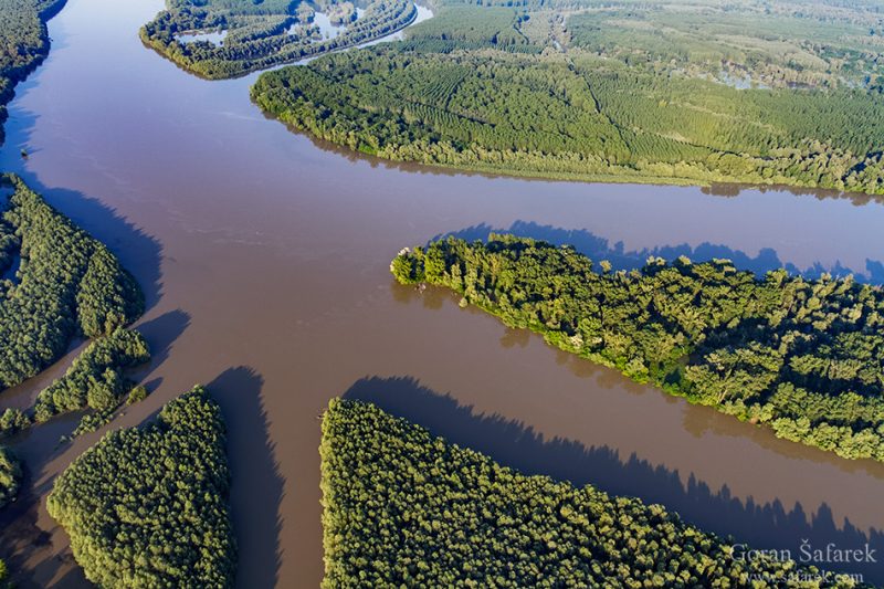
More than just water between banks, rivers are intricate hydrologic systems that shape landscapes, ecosystems, and human lives.
Some things in life we take for granted—rivers are one of them.
We often picture a river as nothing more than water flowing between a left and right bank. But this common image barely scratches the surface.
That simplified definition might work for textbooks, but it can lead to dangerously flawed decisions—especially when it comes to managing water systems. For instance, outdated flood management strategies that ignore the river’s natural floodplain and focus only on the channel between the banks have led to catastrophic consequences—both for people and for the ecosystems that depend on them.
Rivers are far more than just water flowing in a channel. They are living, dynamic systems—shaping landscapes, nourishing biodiversity, connecting groundwater and surface water, and playing a crucial role in our climate and survival.
Here are some of the definitions of rivers found across different disciplines:
The geologist will say that a stream (geologist use a word stream instead of the river, for all sizes) is a body of running water that is confined in a channel and moves downhill under the influence of gravity.
Rethinking Rivers: More Than Just Lines on a Map
As mentioned earlier, the traditional definition of a river is no longer enough. It fails to capture the full complexity—especially from an ecological perspective. While geologists and hydrologists understand these intricacies, most people are left with an oversimplified idea of what a river truly is.
Rivers are not isolated channels; they are vital components of the global hydrological cycle, deeply connected to surrounding landscapes, groundwater systems, weather patterns, and ecosystems. Yet, in our everyday perception, they remain simplified.
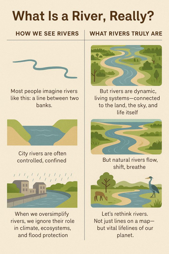
Ask anyone to draw a river, and chances are you’ll get a line—maybe slightly curved—running across a page. For many urban dwellers, rivers appear just like that in real life too: heavily modified, straightened, confined within concrete embankments. That’s how we’re taught to see them in school, and that image sticks. Maps reinforce this view by reducing rivers to thin blue lines—understandably, for the sake of clarity—but still, it subtly shapes how we think of them: narrow, linear, and contained.
But rivers are anything but contained. They flood, meander, transport and deposit the sediment, connect, breathe, and pulse through landscapes like arteries of the Earth.
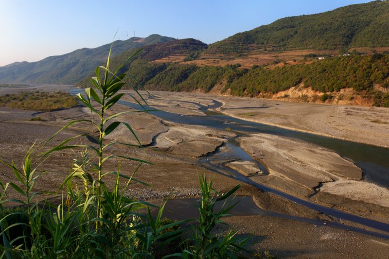 Devoli Devoli River, Albania
Beyond the Banks: Understanding the Hidden Complexity of Rivers
The truth is, rivers are far more intricate than they might appear. There isn’t just one type of river—there are many, each shaped by its environment, geology, and seasonal rhythms. Take a typical lowland river, especially along its lower course where it begins to meander gracefully across the landscape. Here, the river doesn’t simply flow in a single line. Instead, it branches into side channels and carves oxbow lakes into its expansive floodplain.
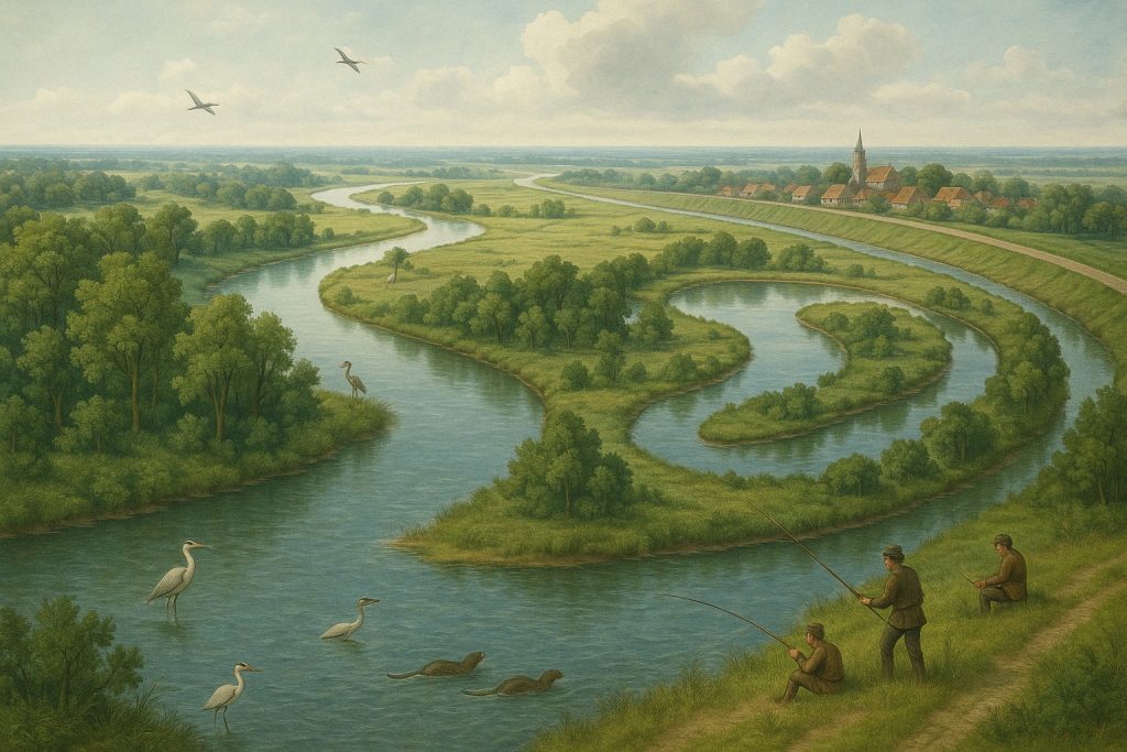
This floodplain is not just surface terrain—it’s built from layers of sediment (terraces) that stretch far beyond the riverbed. And wherever we find this sediment, it tells a quiet story: the river once danced there. In times of flood, the river rises and spills into its floodplain, merging again with those forgotten paths and making the entire landscape a living, breathing system of water and earth.
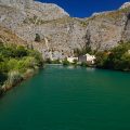
And that’s just one example. There are rivers in karst regions, like those in Croatia, that behave entirely differently. These rivers—flowing over limestone—are merely the surface expression of vast subterranean systems. In the dry summer months, the surface water may vanish altogether, but the underground rivers continue flowing silently beneath the earth, unseen yet very much alive.
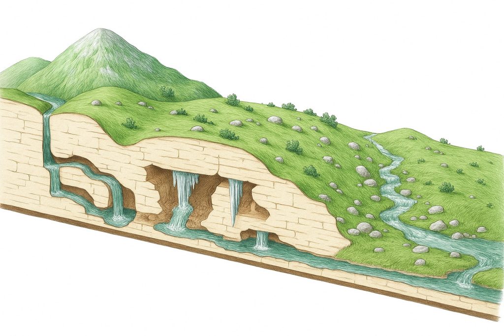
Underground water circulation of the karst rivers
Why It Matters
Rethinking rivers means recognizing them as more than just waterways—they are living systems that support entire ecosystems, regulate our climate, and protect us from natural disasters. When we reduce them to simple lines on a map, we risk managing them poorly and losing their vital functions. To protect our future, we must start seeing rivers not just as features in the landscape, but as dynamic lifelines woven into the fabric of life on Earth.
