Loire Vivante: The Allier and Loire Rivers
From dams to life: how the Allier and Loire rivers became Europe’s model of coexistence, flood resilience, and nature-based river restoration.
Once fated to be turned into reservoirs, the Allier and Loire rivers were preserved thanks to the persistence of local communities. Today, they are not only treasures of France but of all Europe—living examples of harmony between humans and rivers. They represent a pioneering model for sustainable flood protection and river management.
The Loire and Allier Basins
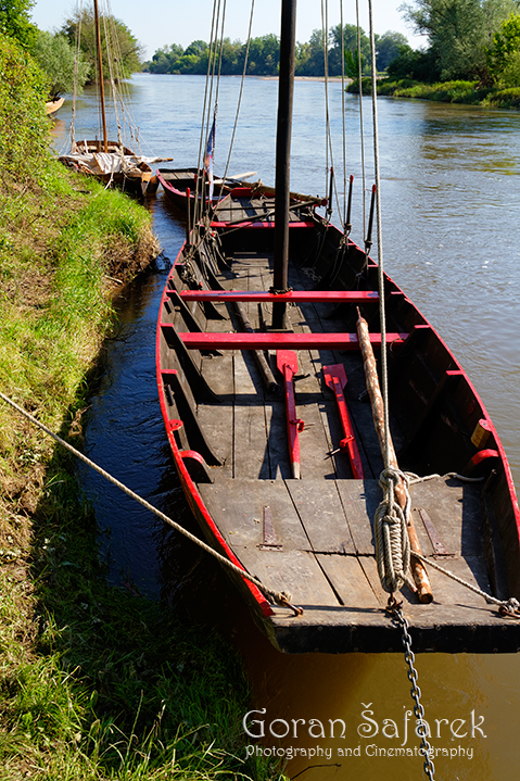
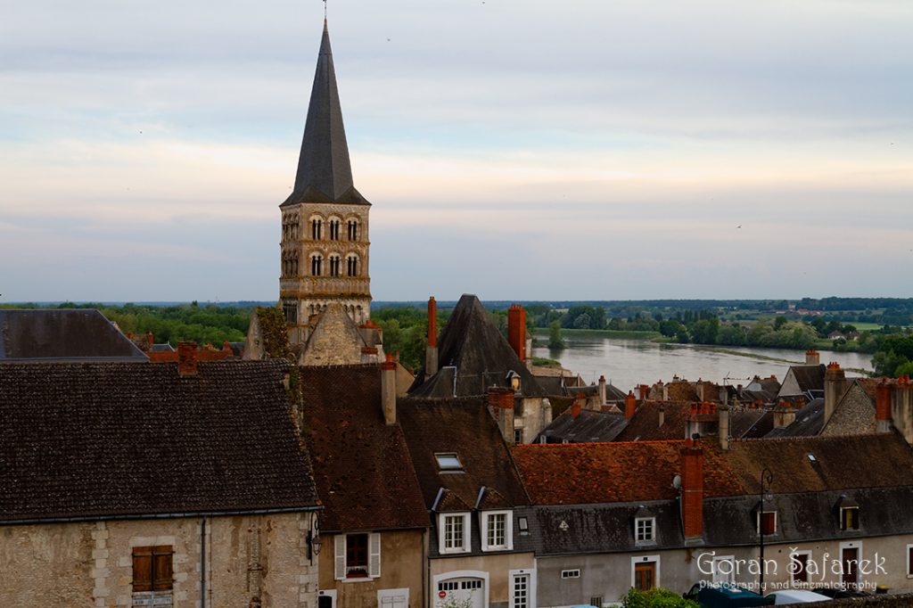
The Loire, stretching over 1000 kilometers, is one of France’s major rivers. Its basin covers 155,000 km²—22% of the country’s land—and is home to 11.5 million people. Predominantly an agricultural region, it produces two-thirds of the country’s livestock and half its cereals. The lower Loire is navigable and fragmented by over 30 dams, and also cools four nuclear plants. The estuary around Nantes supports thriving fisheries and aquaculture.
The Allier, a major tributary of the Loire, rises in the Massif Central and flows 421 km before merging with the Loire at Nevers.
A Living Landscape
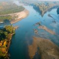
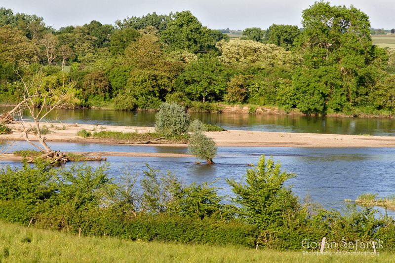
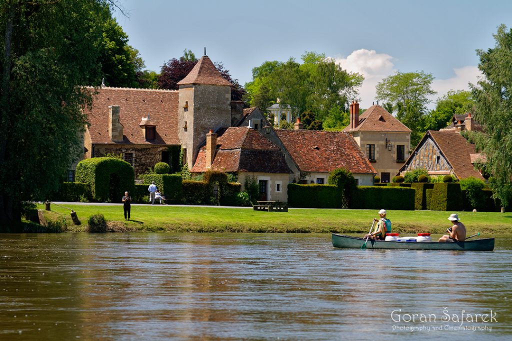
Rowing down the Allier’s lower course reveals a wild river with gravel bars, steep eroding banks, and lush meanders. Overgrown islands and braided channels shelter bird colonies like common and little terns, and rare species like the stone-curlew (Burhinus oedicnemus).
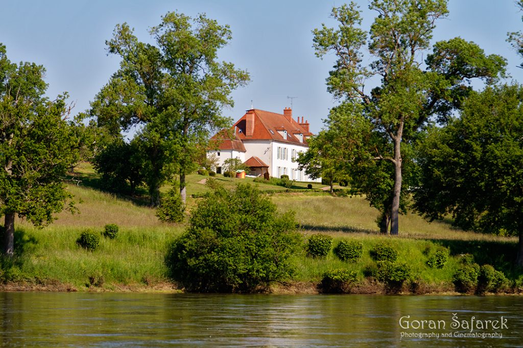
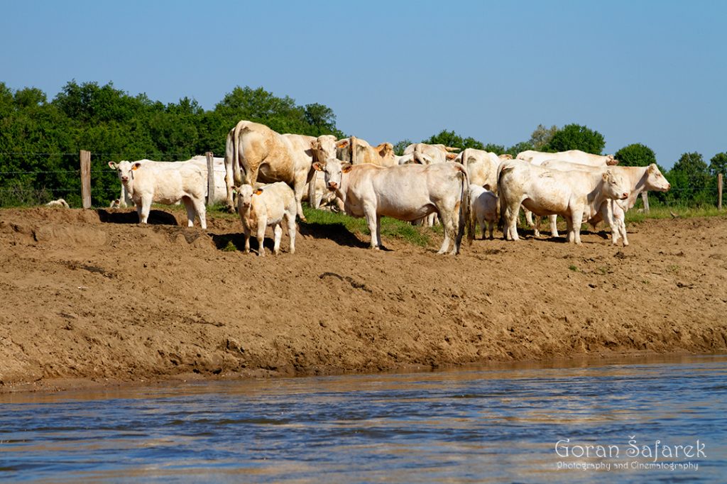
The riverbanks teem with bee-eaters, sand martins, and kingfishers. Behind the willow-lined shores, pastures ripple with wind and grazing cattle. Farms, castles, and hedgerows dot the landscape in a way that is orderly, but never sterile—charmingly French.
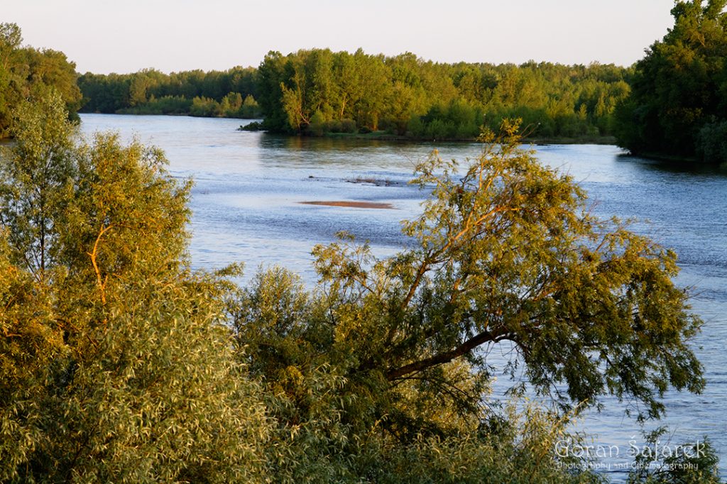
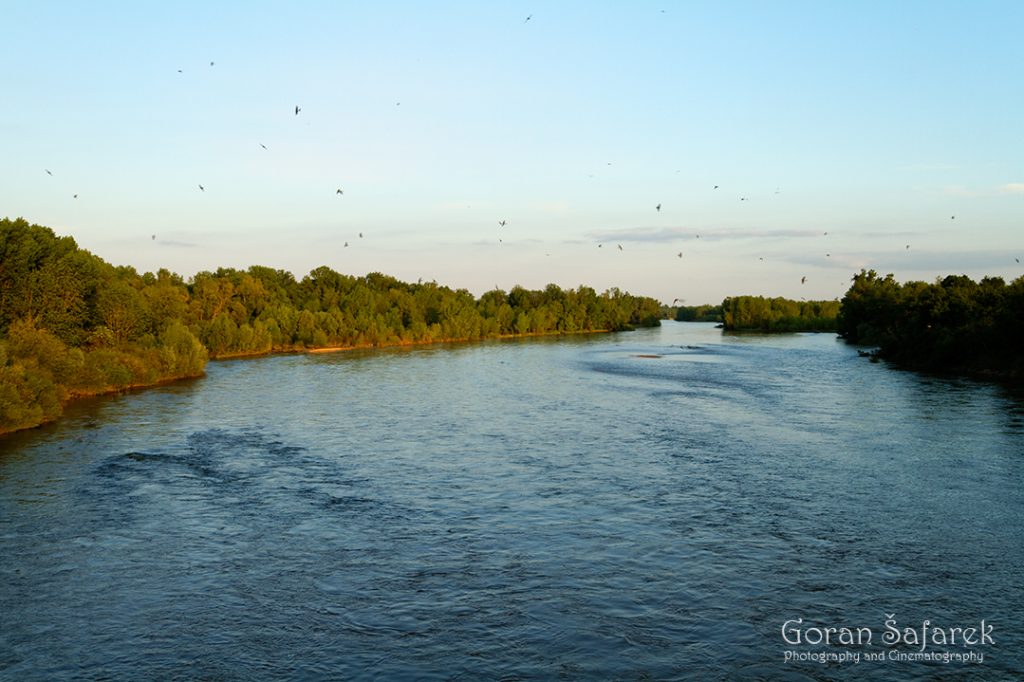
While most floodplain forests were cleared for grazing, small groves remain, hosting herons and storks. Unlike much of Europe, storks here nest in treetops, not on chimneys or power poles. From the confluence with the Allier onward, the Loire becomes a vast braided lowland river, forming a labyrinth of channels where even the main current is hard to distinguish.
The Turning Point: Plan Loire Grandeur Nature
By the late 1980s, four major dams were planned for the upper Loire and Allier. These were meant to control floods, irrigate farmland, and generate electricity. One dam, Serre de la Fare, would have drowned 20 km of pristine canyon. It also threatened 103 protected plant species, 107 animal species, and dozens of Natura 2000 sites.
The public response was overwhelming. Led by WWF, the Loire Vivante movement mobilized citizens, scientists, and NGOs. After years of protests, lawsuits, and site occupations, the French government canceled the dam in 1991 and the entire project by 1994. Instead, they launched the Plan Loire Grandeur Nature—a €110 million river restoration strategy honoring both nature and people.
The plan emphasizes giving rivers room to flood naturally. In Brives-Charensac, for example, embankments were removed, bridges modified, and industrial buildings relocated. Flood forecasting improved with radar, computer modeling, and rapid-response teams—funded partly by the EU LIFE program.
Restoring the Loire and Its Tributaries
Two large-scale Loire Nature projects have been completed, supported by the LIFE program. The first (1992–1999, €9 million) included buying 2,056 ha of riverbank land, sediment and hydrology studies, and pilot restoration projects. The second project (€15 million, over 100 sites) expanded the approach to the entire Loire basin. Surprisingly, one of the largest funders was the Établissement Publique Loire—the same state agency that had once promoted dam-building.
Together, they enabled natural erosion, flooding, gravel bar formation, and channel migration. In Auvergne, lateral erosion can reach up to 14 meters per year—now allowed to occur within designated buffer zones. The NGO Conservatoire des Sites de l’Allier manages some of these areas, showcasing a participatory model of governance.
Farming with Floods
Land acquisition is just the first step. Sustainable land use—especially extensive grazing—is vital. In Anjou, 300 sheep graze wet meadows, controlling vegetation without chemicals. In cooperation with local farmers, haying is delayed to protect breeding corncrakes (Crex crex). The L’Éleveur et l’Oiseau (“The Farmer and the Bird”) label promotes biodiversity-friendly food production.
In Vichy, a fish pass and observatory let visitors watch Atlantic salmon leap upstream. The Conservatoire National du Saumon Sauvage tracks fish movements with cameras and monitors recovery. Before river modifications, 100,000 salmon spawned in the Loire. By 1996, only 67 remained. Since dam removal began in 1998, salmon numbers have rebounded, reclaiming lost habitats.
A River’s Future
The Plan Loire Grandeur Nature continued through 2020 with new phases and ever-expanding partnerships—over 150 citizen groups were involved in the 2007–2013 cycle alone. This long-term commitment proves that restoring rivers is not only possible but deeply rewarding.
The Loire and Allier now serve as models for river revitalization worldwide, proving that giving space back to rivers brings life—not just to ecosystems, but to the communities who depend on them.